| Livingston Manor - 2 |
October 10, 2005 - click on picture for full size
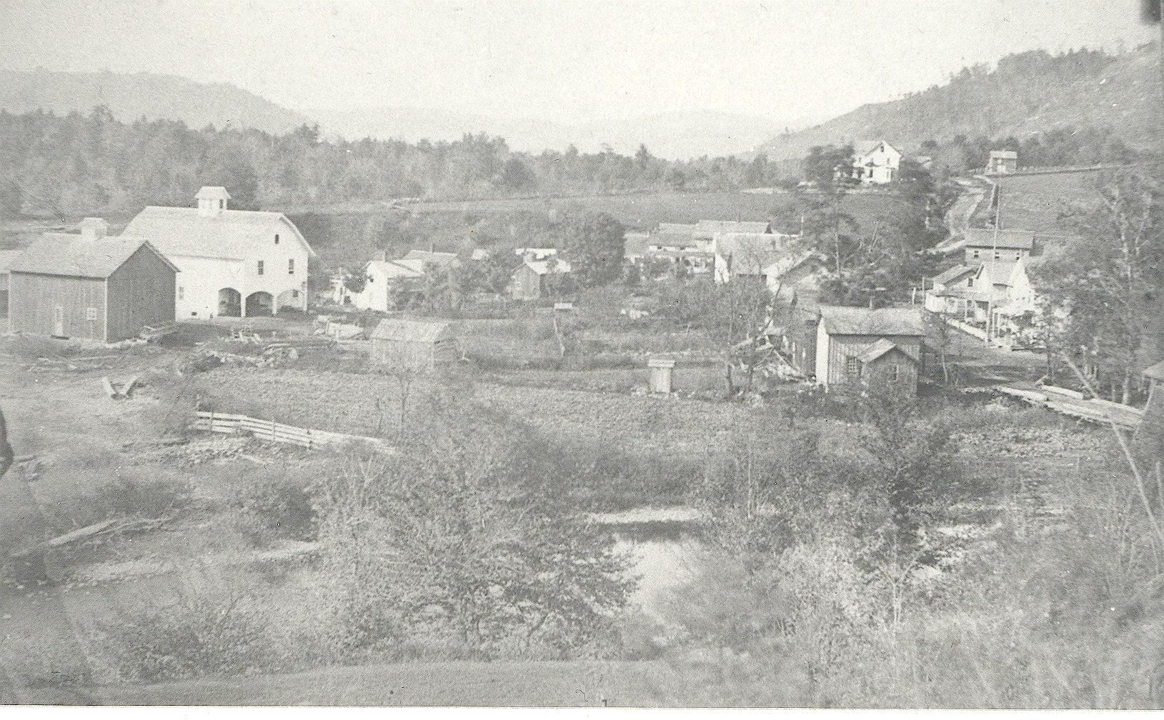
 __hr_main+street Overview of Livingston Manor looking towards Roundtop - Presbyterian Church upper right - circa 1900 |
 __hr_main+street+crossing O&W railroad model with DuBois House on the left and DuBois building on the right |
 __hr_main+street-p Overview above enhanced |
 __hr_manor+aerial Livingston Manor aeriel view - note O&W "Y" upper right |
 __hr_manor+aerial+1 Same aeriel view but higher |
 __hr_manor+aerial+3 Blow-up of intersection of O&W tracks and Main Street |
 __hr_overview+2 Overview of LM from Roundtop looking more to the West. Main Street lower right |
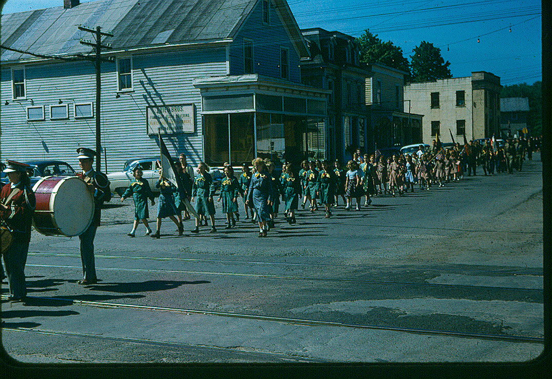 __hr_parade 5 Parade on Main Street - Resnick building?? Bank upper right - circa 1958? |
 __hr_parade+5 Duplicate |
 __hr_parade+6 Parade going down Pearl Street - Hoos building on left and Neuman (Van Aken) building in the center - circa 1940's |
 __hr_purvis Purvis and later Jacktown - old 17 on right. Robin Hood diner now in center. |
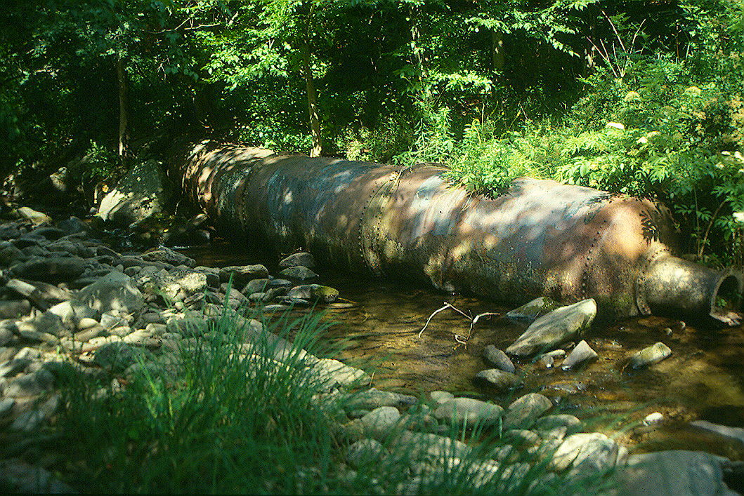 __hr_retorts Flood ???? |
 __hr_rock+and+pearl Overview towards Roundtop - Presbyterian Church Left center - Denman house in center. Note covered bridge over the Little Beaverkill in the center |
 __hr_rock+avenue Same shot a left but looking farther down the railroad tracks to the East - circa 1900 |
 __hr_rock+avenue-tn Duplicate |
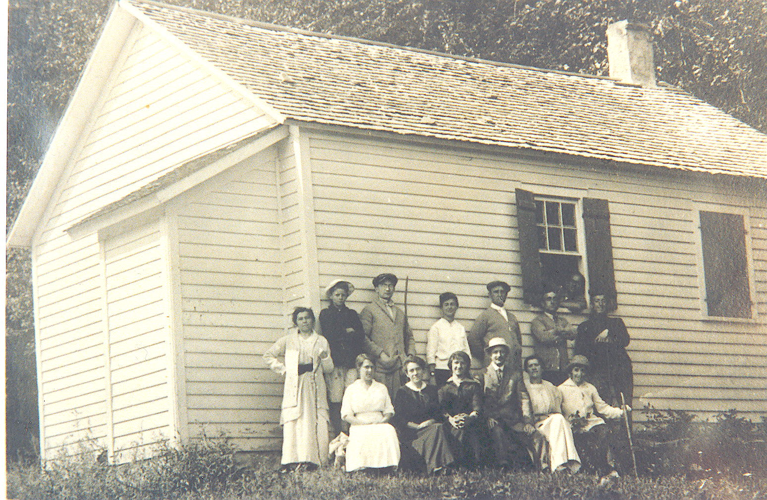 __hr_school_shandelee School in Shandelee - circa ?? know anybody? |
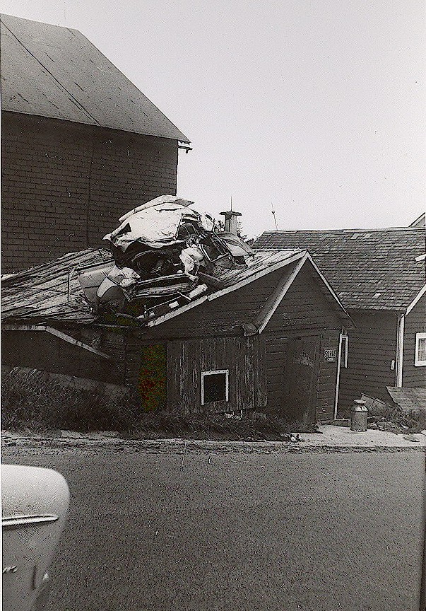 __hr_shandelee 1959 Car that flew on top of Fries barn in 1959 |
 __hr_shandelee+1875 1875 map of Shandelee with Sand Pond in the middle |
 __hr_station O&W model of Livingston Manor Station |
 __hr_sullivan+county+1920 1920 map of the town of Rockland - Livingston Manor in the center |
 | Home |
